
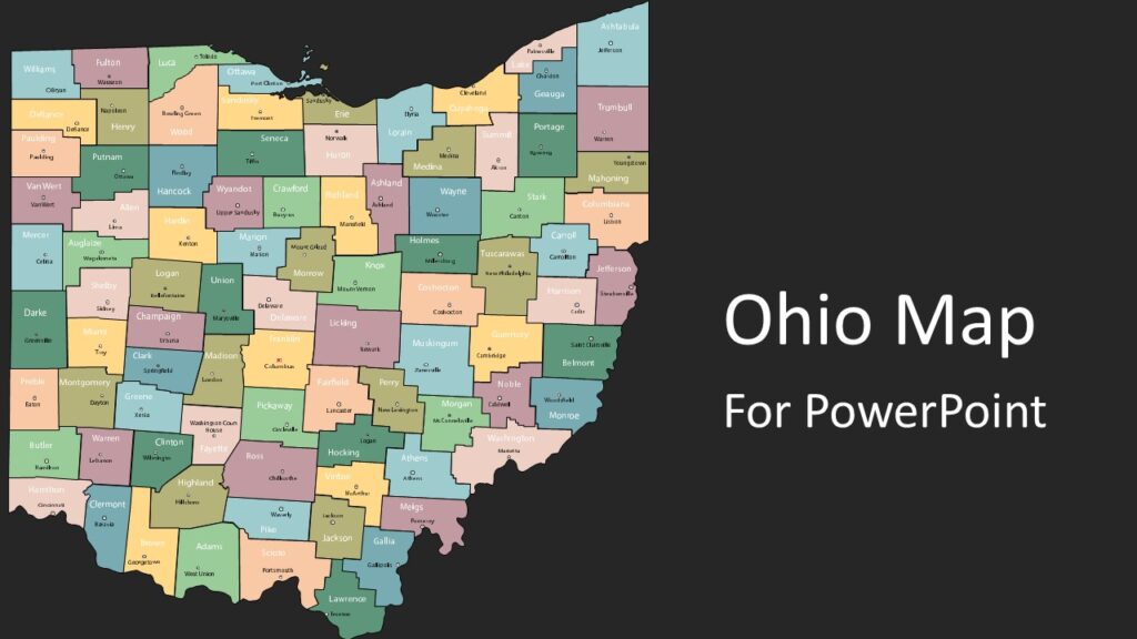
After receiving a couple of requests from the users, we are listing this exclusive Ohio map download for PowerPoint. As always this is made via PowerPoint native shapes so you can ungroup and add shape format options to best fit to your presentation. The presentation contains three sets of slides with Ohio map, united states map highlighting Ohio and Ohio map with counties.
About Ohio from Wikipedia
Ohio is is the seventh-most populous and tenth-most densely populated state in the Midwestern region of the United States. Of the fifty states, it is the 34th-largest by area and has nearly 11.8 million population, The state’s capital is Columbus, Ohio is bordered by Lake Erie to the north, Pennsylvania to the east, West Virginia to the southeast, Kentucky to the southwest, Indiana to the west, and Michigan to the northwest. Ohio is historically known as the “Buckeye State” after its Ohio buckeye trees, and Ohioans are also known as “Buckeyes”. Its state flag is the only non-rectangular flag of all the U.S. states.
Note: If you have any PowerPoint-related requests, do use the chat window to post your requests. We try to be as responsive as possible.


